Doñana Natural Area
Background
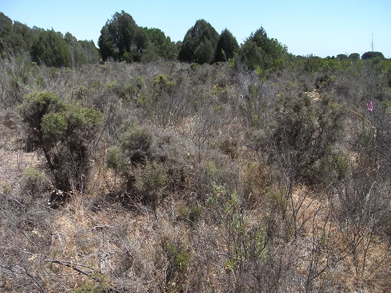
The Doñana area is located in southwestern Spain around the Guadalquivir estuary, although the original marshland in the left bank of the river has been totally lost. Its ecological value has been recognized for centuries, and the Doñana National Park was created in 1969; it was classified as a UNESCO Biosphere Reserve in 1980 and as a UNESCO World Heritage Site in 1994. The Doñana Natural Area, corresponding to the Biosphere Reserve, includes the National Park, the Natural Park, formed by some peripheral areas of different habitats surrounding the National Park, and areas with lower protection in contact with agricultural areas. It is considered a Mediterranean-climate region with a subhumid climate characterized by variable rainy seasons historically centered in autumn and spring but shifting towards winter over the last decades, and hot and dry summers. Doñana integrates a large variety of terrestrial and aquatic ecosystems, ranging from pine and cork oak forests to shrublands, grasslands, sand dunes, and marshlands with different levels of salinity. This mosaic of habitats is the main reason for its great biodiversity.
Human pressures
Direct and indirect human pressures have led to major landscape transformations in Doñana. More than 80% of the original marsh surface area has been transformed, representing one of the largest losses of marshes in Europe. Between 1956 and 2007, urbanized areas in the surroundings of the protected area increased by 590% and irrigated fields by 126%, whereas scrubland area diminished by 44%, wetlands by 40%, and grasslands by 20%. Currently, excessive and unsustainable groundwater extraction, up to 20 m in the deep aquifer, is the biggest threat to Doñana's ecosystems. Climate change is aggravating the water-deficit problem. Temperatures have been increasing in the last three decades, while precipitation has decreased in the last decade; and these trends are projected to continue into the future. This conjunction of pressures is resulting, among others, in lower recharges to the aquifer, lower water inputs into ponds and marshes, poorer water quality owing to greater salinity and pollutant concentrations, and lower soil moisture. Consequently, numerous temporary ponds (59.2%) have not flooded since 2013, and many are expected to disappear. A detailed overview of the challenges Doñana Protected Area faces can be found here.

Biodiversity Predictions
Data
The Biological Research Station, operated by the ICTS-RBD, has been continuously monitoring biodiversity in Doñana for decades (along with other measurements, such as satellite derived indices), and has made this data available open access. There is also a large amount of data available as part of individual monitoring and experimental efforts.
As part of a huge collaborative effort, we are coupling the decades of ecological data collected in Doñana Natural Area with advanced models to develop scalable and integrated predictions of ecosystem changes: a digital twin. This digital twin scales up, from individuals to ecosystems, the effects of interacting global-change on terrestrial ecosystems in Doñana Natural Area. Digital twins are completely lacking in Mediterranean ecosystems, and their development can pioneer a new generation of mechanistic forecasting research to answer the fundamental question: Does ongoing climate change interacting with other global-change drivers, such as unsustainable water use lead to loss of biodiversity and ecosystem functions? Answering this question is of key relevance for current EU policy that aims to strengthen predictions of human impacts on biodiversity.
Predictions
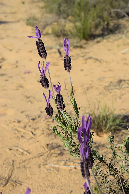
We are predicting spatiotemporal dynamics of shrubs (e.g., most common shrub species in Monte Blanco), grassy areas, and trees. These determine changes in key habitat features (including productivity), which then affect upper trophic levels. Mosaics of grasses and shrubs determine the abundance of European
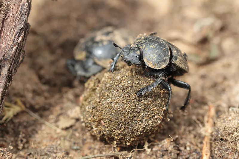
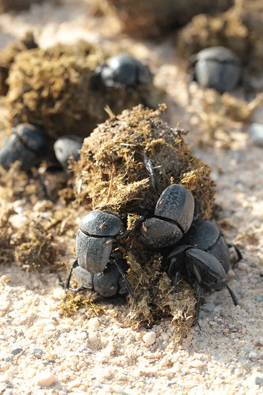
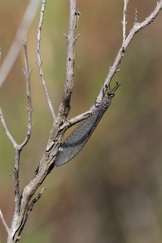
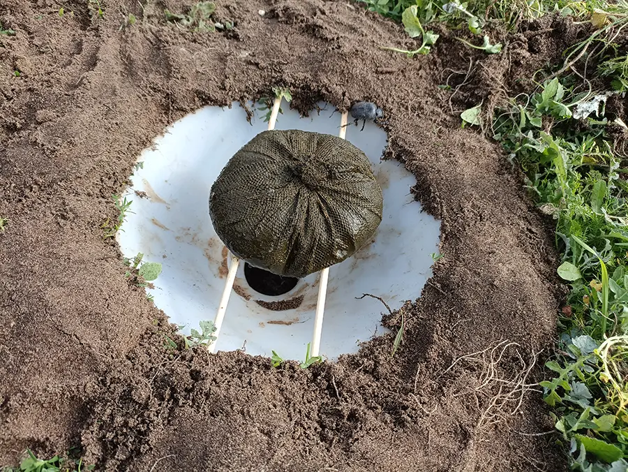
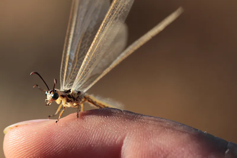
rabbits and other herbivores (e.g., wild boards and wild and domestic ungulates), which then affect the abundances of predators (Iberian lynx and foxes). Different habitats also affect total and relative abundances of insects such as dung beetles
and lacewings. Abundance changes of these key species then affect the ecosystem services they provide – for instance dung removal and soil fertilization in the case of dung beetles.
Anyone can contribute predictions via the forecasting challenge.
Management
A complex-system digital twin provides conservation managers with a powerful, decision-ready tool for anticipating how and when interacting stressors—such as groundwater over-extraction, land-use change, and climate-driven shifts in rainfall and temperature—alter diverse ecosystems and their services. Managers can test interventions virtually and assess their success. For instance, we are working with Life Lynxconnect to increase the abundances of breeding pairs of lynxes in the National Park by predicting how rabbits will respond to habitat restoration campaigns.
Partners
- LynxConnect
- ICTS Doñana
- Universitat Politècnica de Catalunya